|
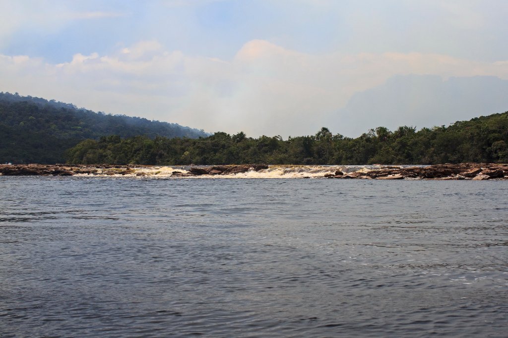 |
| I believe this is the start of the Rápidos de Mayupa, here we had to move to another canoe upstreams | |
| Latitude: N 6°10'43,88" | Longitude: W 62°46'35,82" | Altitude: 436 metres | Location: Mayupa | State/Province: Estado Bolívar | Country: Venezuela | Copyright: Ron Harkink | See map | |
| Total images: 70 | Help | |